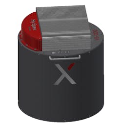
Novel, high-resolution instrument designed for airborne applications at altitudes >400m. 40° FOV ideal for mapping large areas with high accuracy and resolution. Highest level scientific-grade data commercially available, having FWHM <1.2 pixels spatially and <1.5 pixels spectrally. Coregistration errors <10% of a pixel. Delivered with integrated, high-performance IMU/GPS and DAU with removable storage. Existing navigation systems can be integrated/utilized. Passive damping solution included in default package. Mounting plates for active damping solutions, such as GSM4000 or PAV80 available.
